We are a Colombian non-profit devoted to using new technologies to protect and promote the historical heritage of Latin America.

We design and build custom scanners to digitize historical collections, create tools and platforms to make them accessible, and develop digital history projects.

Colonial Landscapes

Redrawing Andean Territories in the Seventeenth Century

Summary

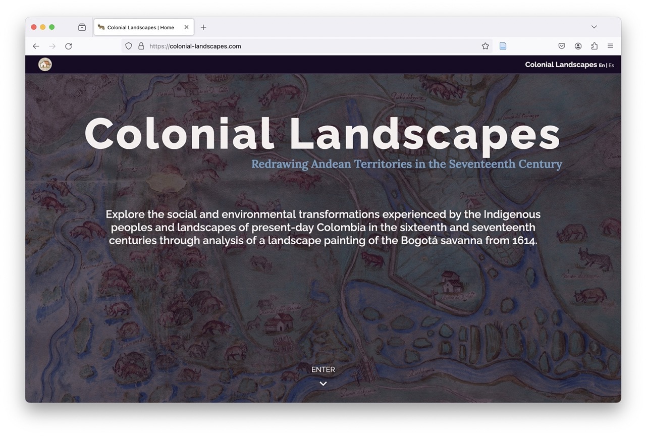
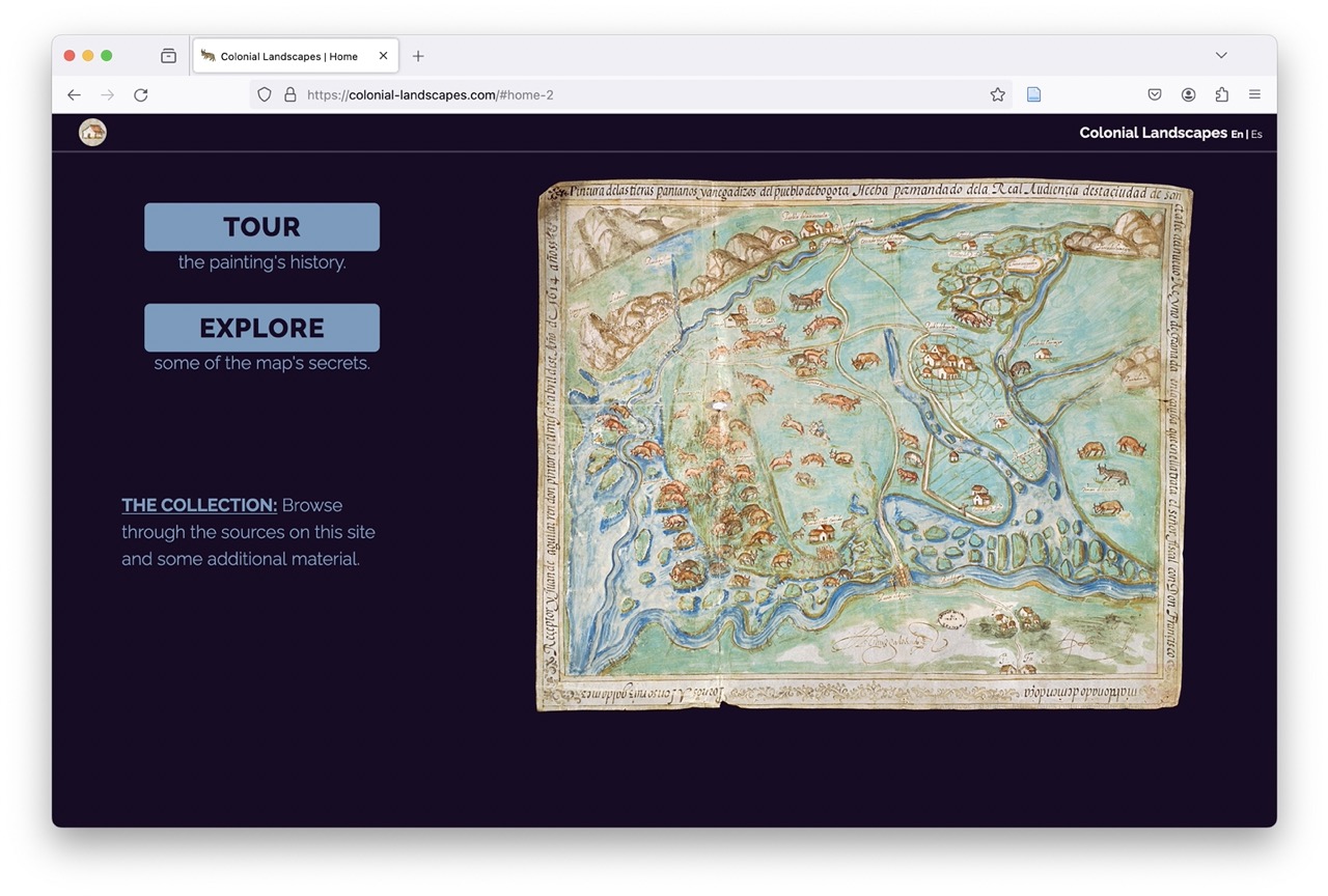
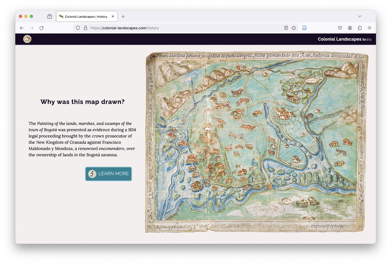
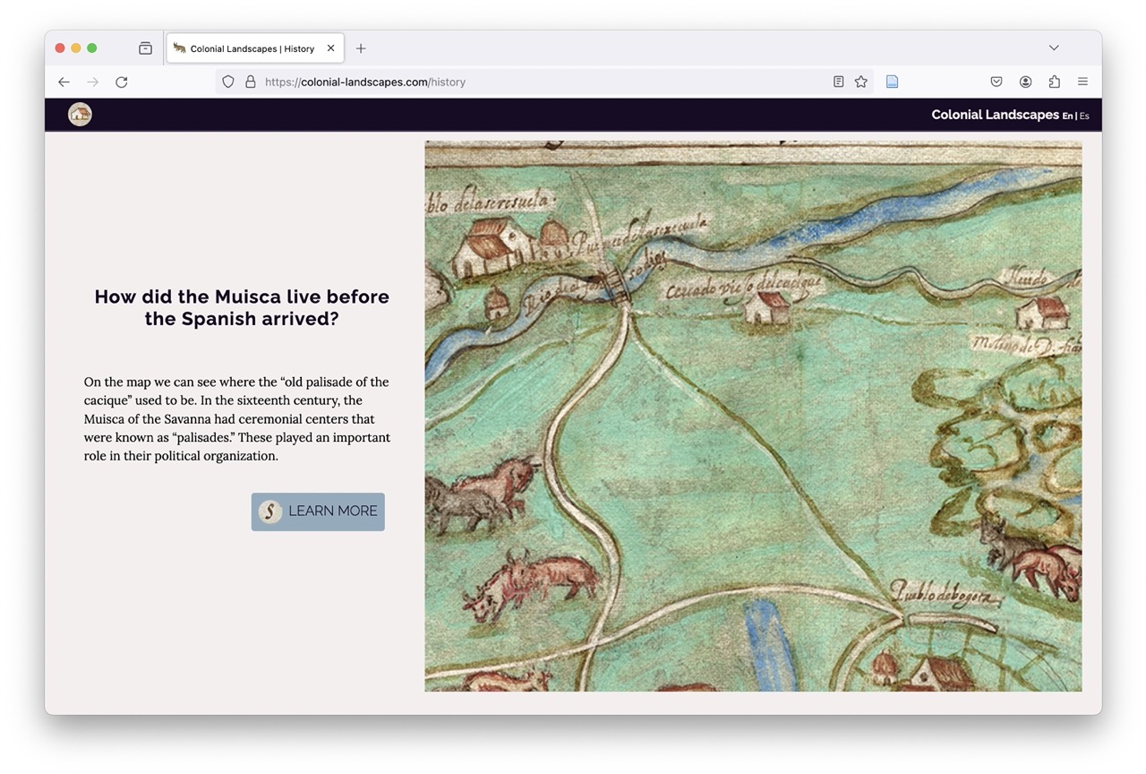
Colonial Landscapes is an interactive pedagogical tool that explores the colonial history of the Bogotá savanna through a map of the town of Bogotá and its surroundings that was made in 1614. It is primarily intended for a non-academic audience, particularly schoolchildren and college students, as a new way of engaging with and visualising the colonial past that centers the indigenous people of this region. As well as detailing the history of the region and its peoples through the aspects of the painting, the website contains a number of pedagogical tools and activities for the classroom.

Accomplishments

Colonial Landscapes launched in 2020 and can be found here.

Participants

  • Santiago Muñoz Arbeláez (PI)
  • Adelaida Ávila Cabrera (Design and production)
  • María Alejandra Orduz (Coordinator)
  • Matías Godoy (English translation)
  • Natalie Cobo (English translation)

Sponsors

  • Neogranadina
  • Universidad de los Andes
  • Biblioteca Nacional de Colombia
  • Ministerio de Cultura de Colombia
  • University of Connecticut
  • University of Texas at Austin